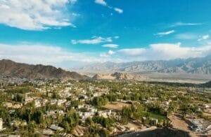
Chhattisgarh is a state in India that was created in November 2000. It is the 10th largest with an area of 135,190 km2 and the 16th most populated with a population of around 30 million at a density of 190 people per km2. Raipur is the largest (by population) and capital city of Chhattisgarh state, covering an area of 116 km2 and housing 2.1 million people with a density of around 9,000 persons per km2. It is located in the Raipur District.
Raipur city on the Map with red dot line:
List of largest Cities in Chhattisgarh (by population)
| Rank | City Name | Population | Area (km²) | Density (est.) ( inhabitants/km²) | District |
|---|---|---|---|---|---|
| 1 | Raipur | 2,160,876 | 116.03 | 9,683 | Raipur |
| 2 | Bhilai (Bhilai Nagar) | 1,064,222 | 340.75 | 3,123 | Durg |
| 3 | Bilaspur | 453,946 | 50.11 | 9,059 | Bilaspur |
| 4 | Korba | 365,253 | 215.02 | 1,698 | Kobra |
| 5 | Raj Nandgaon | 163,114 | 78.09 | 2,088 | Raj Nandgaon |
| 6 | Raigarh | 150,019 | 20.68 | 7,254 | Raigarh |
| 7 | Jagdalpur | 125,463 | 26.38 | 4,756 | Bastar |
| 8 | Ambikapur | 121,071 | 21.3 | 5,684 | Surguja |
| 9 | Dhamtari | 101,677 | 23.4 | 4,345 | Dhamtari |
| 10 | Chirmiri | 85,317 | 64.94 | 1,313 | Koriya |
Raipur
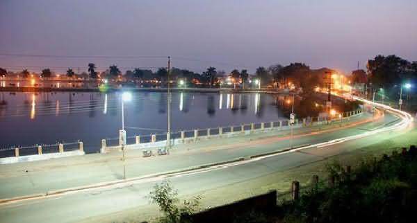
Raipur is the capital of Chhattisgarh and an important industrial and commercial center. Moreover, major industries include steel, cement, and IT. Additionally, the city’s connectivity by air, rail, and road is very good. With the Naya Raipur development and increasing job opportunities, especially in IT and manufacturing, it is rapidly becoming a modern city.
Bhilai
Bhilai is renowned for the Bhilai Steel Plant, which is a major contributor to India’s steel production. Additionally, the city has strong job opportunities in manufacturing and engineering. Furthermore, it is well-connected by rail and road, with upcoming infrastructure projects fueling growth. Consequently, Bhilai’s focus on industrial development ensures steady economic progress.
Bilaspur
Bilaspur is an important railway junction with the headquarters of the South East Central Railway zone. The city has major employment potential in railways and education, supplemented by coal and power industries around it. The development projects and excellent transport connectivity are helping it become a flourishing urban center in Chhattisgarh.
Korba
Korba is the “Power Capital of India,” housing several thermal power plants. There are many job opportunities, mainly in the energy sector with NTPC and SECL. The growth of industry in the city is enhanced by the emerging networks of transportation. This place is evolving with its destiny of being instrumental to the Indian supply of power.
Raj Nandgaon
Raj Nandgaon is an upcoming city with an orientation toward small-scale industries and agriculture. It has developing infrastructure projects that are giving better connectivity and, hence, new opportunities. The city provides job opportunities in trade, logistics, and local enterprises. Raj Nandgaon is undergoing gradual economic and social development, fostering urbanization.
FAQs
The top five largest cities in Chhattisgarh by population are Raipur, Bhilai, Bilaspur, Korba, and Raj Nandgaon.
Raipur, the state capital, is known for its steel and cement industries, growing IT sector, and rapid development with projects like Naya Raipur. It is a major commercial and industrial hub.
Bhilai is famous for the Bhilai Steel Plant, one of India’s largest steel manufacturing units. It is a key city for industrial and engineering job opportunities.
Bilaspur serves as the headquarters of the South East Central Railway zone and is a major railway hub. It also has significant contributions from coal and power industries.
Korba is home to several thermal power plants and companies like NTPC and SECL, making it a crucial city for India’s energy production.
Raj Nandgaon has a mix of small-scale industries and agricultural trade. The city is gradually developing infrastructure, creating job opportunities in trade and logistics.
All five cities have strong transportation networks, including rail and road connectivity. Raipur also has an international airport, making it a gateway for the state.
Raipur is the fastest-growing city due to its focus on IT, industrial expansion, and the development of Naya Raipur as a smart city.